
Alpe d'Huez and the Sarenne Gorges - E-Mountain Biking from the Auris-en-Oisans Resort

Description
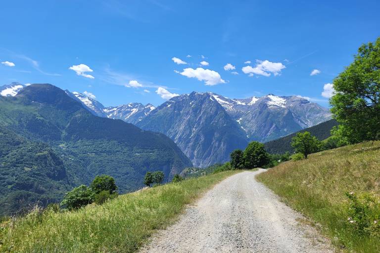
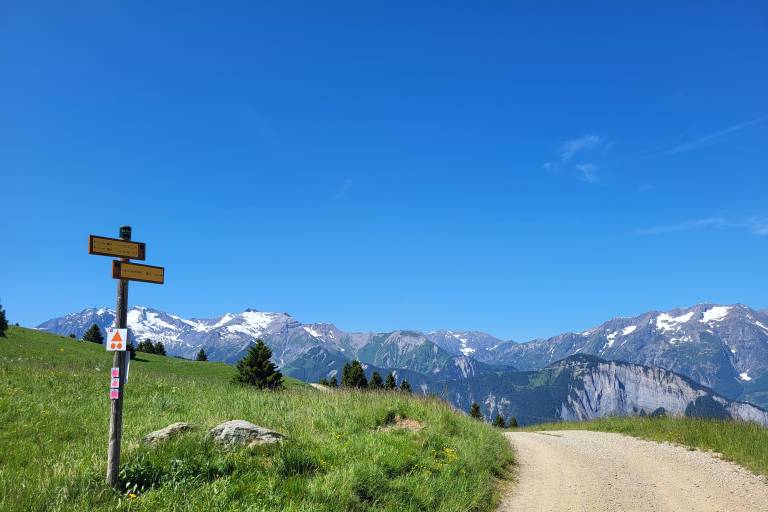
Discover part of the Auris-en-Oisans and Alpe d'Huez area on this route that will take you through alpine pastures, gorges, and the resort. It's the perfect route for a lively half-day ride or a leisurely full day on an e-MTB.
Between gravel trails and paved roads, discover the slopes of the Signal de l'Homme, the Sarenne Gorges, the Sarenne Pass road (which Tour de France riders will take in the summer of 2026), the Alpe d’Huez resort, and the village of Huez.
You’ll ride through the heart of the Grandes Rousses mountain range and enjoy varied panoramic views of the surrounding peaks, such as the Signal de l’Homme, rising to 2,176 m above Auris-en-Oisans, and the Pic Blanc, rising to 3,300 m above Alpe d’Huez. A detour via the Col de Sarenne will take you to an elevation of 1,999 m; from the pass, a short walk will take you to a signpost, offering you an unparalleled panoramic view of the Écrins Massif, the Ferrand Valley, the Emparis Plateau, and the Aiguilles d’Arves.
In the Alpe d’Huez resort, which you’ll pass through, you’ll find many shops offering food for lunch or a snack. From the Espace des Bergers, you can choose to take the road or ride the Alpe Express and Huez Express gondolas to reach the village of Huez. These gondolas are free and equipped to transport bicycles.
On the way back, you’ll also discover La Sarenne and its gorges, which offer a refreshing escape for several kilometers. There are a few picnic tables along the trail, and you’ll also pass the Auberge de la Combe Haute, where you can grab a bite to eat or stop for a drink during peak season. On the other side of the river, you’ll see the Sarenne run: the longest black run in the world, which starts at the summit of Pic Blanc at an altitude of 3,300 meters!
Marking
Map references
IGN Top 25 Map 3335ET - Le Bourg d'Oisans and Alpe d'Huez