Chemin historique de Villard Notre Dame - Hiking from Le Bourg-d'Oisans
Hard
2h50min
7.2km
Round trip
+720m
-720m
Description
TECHNICAL INFORMATION
Start: Bourg-d'Oisans motocross course, 730m
Difference in altitude: 720m
Round trip time: 5h50
Return distance: 7.2 km
Level: difficult with aerial sections
MAP AND TOPO
IGN map 3336ET
Topo guide l'Oisans au bout des pieds n°1 sentier 623
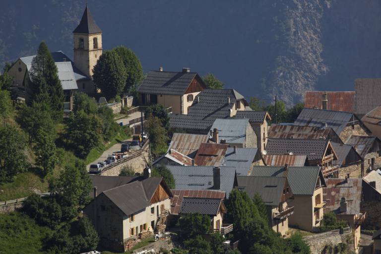
Itinerary: Start from the motocross course at Bourg-d'Oisans, follow the signs for Villard-Notre Dame, a path with many switchbacks. Vertiginous passage just before the Gardette mines secured by a cable, then forest climb to the Combe de la Balme, then finish with the arrival at Villard Notre Dame.
TO SEE ON THE ROUTE
The Gardette mines