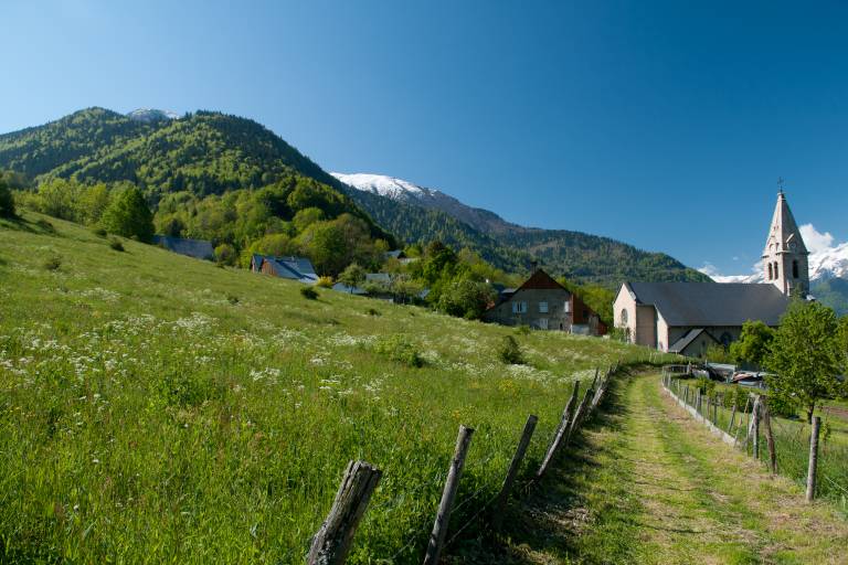
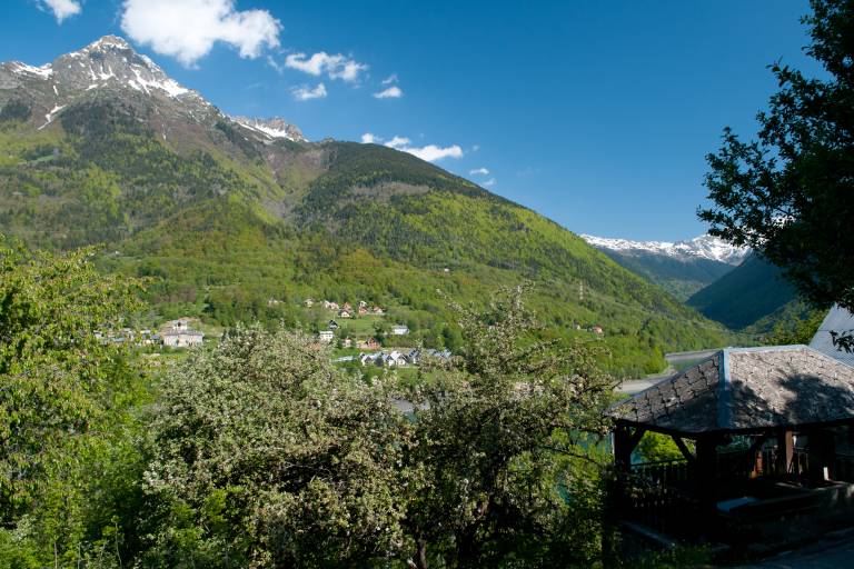
Circuit des Sangliers
Hard
4h
8.6km
Loop
+750m
-750m

1 / 3
Description
Start the walk from the tree climbing park of Oz. Go up to Plan du Cerf then go back down on the other side of the mountain, direction "L'Enversin d'Oz". From the hamlet, follow the "Combe du Foley" to Oz Village. Enjoy a moment of tranquility in the little chapel at the end of the field. Cross the village and retrieve the path to the hamlet of Roberand, through the forest. Follow the signs to Oz Station.
TECHNICAL INFORMATIONS :
Departure: Tourist Office
Distance: 8.6km
Elevation: about 750m
Duration: 4h00
Maximum altitude: 1480m
INTERESTS: Rivers, flora, hamlets and villages