
Col de Maronne par les Sûres - Hiking from the resort of Auris-en-Oisans

Description
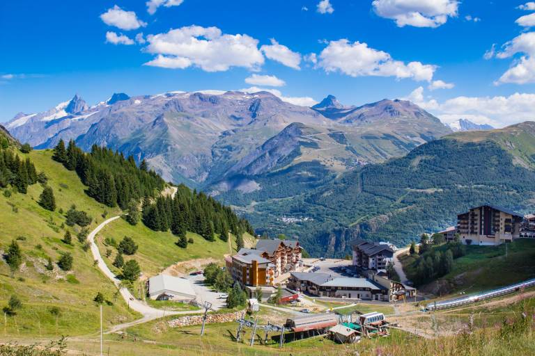
Hike to Les Sûres and take in the view of Bourg-d'Oisans, the Taillefer massif, and the Romanche River. Enjoy the shade of the spruce forest that borders the resort, and once you reach the ridges, keep an eye out for marmots and chamois.
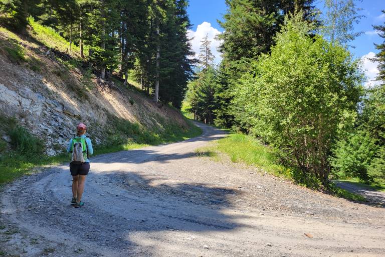
Starting from the Auris-en-Oisans ski resort, set out to conquer Les Süres, a peak rising to 1,860 m. As you climb, you’ll pass through a spruce forest—the largest of its kind on a south-facing slope in Europe. Along the trail, you’ll find a protected plant species; you’ll recognize it by the small circle of stones surrounding it. Admire these flowers without picking them—these species are fragile and can take several decades to mature.
This route offers good opportunities for wildlife spotting, so be quiet and keep your eyes peeled! Chamois frequent the cliffs and sheer rock faces that drop straight down below the Sûres ridges. You may also hear marmots whistling, especially as you continue your loop on the descent toward the Col de Maronne and back to the resort. Do you spot any burrows? The marmots dug them and live there year-round!
The summit of the Sûres offers a wonderful reward: a panoramic view of the Romanche Valley, Bourg-d’Oisans, and the Prégentil cliff (with its interesting geological folds), as well as part of the Écrins Massif, the Taillefer Massif, the Belledonne Massif, and finally, the Grandes Rousses Massif and the Alpe d’Huez resort (a ski area connected to Auris-en-Oisans in winter).
During your hike, you’ll find a few benches and picnic tables—perfect for enjoying the mountain air and the lush green slopes during lunch or a snack break. There’s also a mountain snack bar at the summit, where you can quench your thirst and treat yourself after this hike!
This hike is suitable for families who are already accustomed to mountain hiking and are looking for a route that takes them up high to discover an alpine panorama. Not used to hiking or traveling with young children? Opt instead to take the gondola to the summit.
Since the area isn’t frequented by herds during the summer grazing season, it’s a perfect hike for walking your dog on a leash in complete peace and quiet.
Map references:
IGN Top 25 Map 3335ET - Le Bourg d’Oisans and Alpe d’Huez
OBP Topographic Map (L’Oisans au Bout des Pieds) No. 3: trails 347 and 313, with trail 301 as an optional return route from the Col de Maronne (available for purchase at the tourist office)
Marking
PDIPR Yellow Signs
Map references
IGN Top 25 Map 3335ET - Le Bourg d'Oisans and Alpe d'Huez