Descent from the Col du Galibier
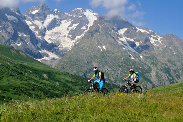
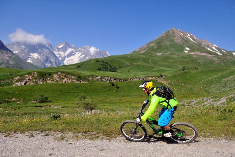

Description
Route in the “MTB in Oisans” guide (Oisans Tourisme)
Departure: Col du Galibier 2546 m (Desgranges stone marker)
Arrival: Villar d'Arène 1640 m
Time: 1 1/2 hours
Distance: 15 km
Highest point: 2543 m
Lowest point: 1640 m
Total ascent: +170 m
Total descent: -1059 m
Technique: 1/4
Endurance: 2/4
Map: Top 25 Meije Pelvoux 3436 ET and Valloire 3435 ET
ROUTE
Start off at the Desgranges stone marker and go round a ruined house lower down, behind which the path begins. Cross the road to take the «Chemin du Galibier» on the other side. Ride down the bends of this peaceful path to the Col du Lautaret road (D1091).
Cross over the road to the track opposite, which leads to the col (2 km).
Once at the col, cross over the road and go past the bar/restaurant «La Ferme» to join up with the GR 50 path. From this point onwards, the route is marked «FFC no.13». The track winds its way through peat bogs in pastureland and after 2.5 km, you arrive back on the Col du Lautaret road (D1091). Cross the road and carry on the path to the hamlet of Le Pied du Col, where you turn right on the road and then after 150 m, right again onto a track that takes you to Villar-d’Arène.