From La Grave to Col de l'Échelle

Description
Detailed itinerary :
-
From the parking lot, turn right towards Briançon on the RD 1091. Pass through the village of La Grave.
-
As you leave La Grave, go through the Serre du Coin tunnel, then the Ardoisières tunnel (be careful, the tunnels are poorly lit). Continue on the RD 1091.
-
Go around the village of Villar d'Arène and continue towards Briançon and Col de Lautaret.
-
At the Col de Lautaret, follow the RD 1091 down into the Serre Chevalier valley as far as Briançon.
-
Once in Briançon, after the town entrance sign, pass the medical center and take the 1st road on the left to join the route de Grenoble.
-
Follow route de Grenoble up to the Champs de Mars traffic circle. At the traffic circle, take the 4th exit on the left towards Montgenèvre, to join the RN 94.
-
At the Briançon exit, continue on the RN 94 to the La Vachette crossroads.
-
At the crossroads, turn left towards Névache/Vallée de la Clarée. Enter the village of La Vachette and drive up the Clarée Valley to Névache (approx. 10 km).
-
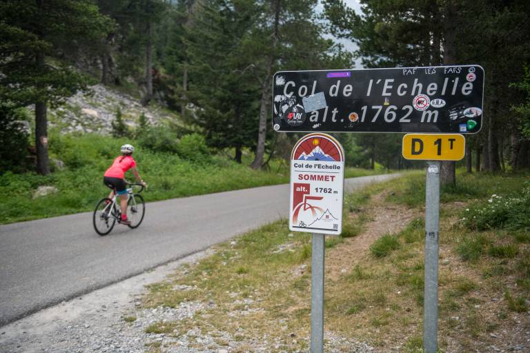
Shortly before reaching Névache, turn right towards Col de l'Echelle and start climbing.
-
At the summit, continue straight on, stopping just before the descent to Italy.
-
Return to La Grave by the same route.