
From Villar d'Arêne to the Pavé refuge (mountaineering)

Description
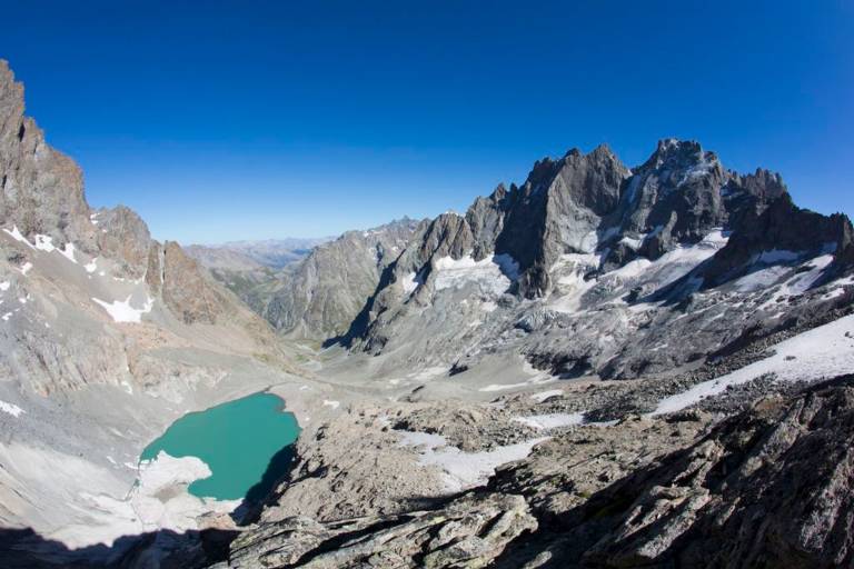
A hike that immerses you in remarkable Alpine scenery and takes you to the refuge and Lac du Pavé. Life, both zooplankton and phytoplankton, is already present in this recent lake, perched at 2800 m.
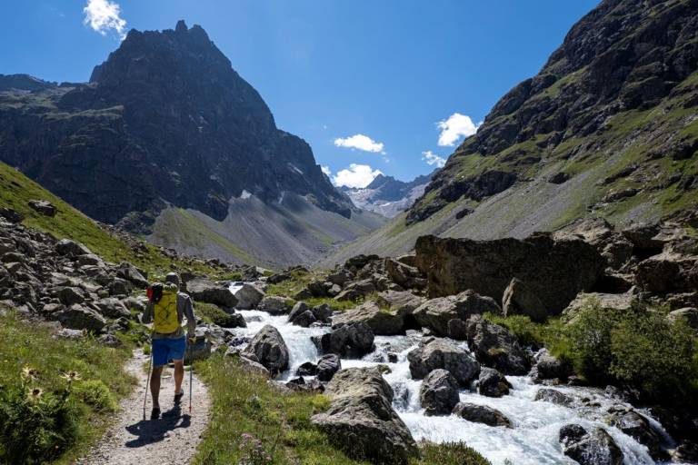
From the parking lot at the bottom of the gravel pit, beyond the Arsine bridge, the path to the refuge du Pavé first follows the popular path to the Alpe de Villar d'Arène refuge (GR 54).
It leaves it at the top of the glacial lock known to locals as "Les voûtes". It then follows the Romanche on its right bank for 2 km to the Plan de l'Alpe, once coveted as a hydroelectric dam.
At the Valfourche bridge, which marks the entrance to the heart of the Ecrins National Park, the route switches to the left bank. It leaves the Romanche valley and heads up the Cavales valley, first along the banks of the torrent of the same name to Les Pichettes, which marks the end of the alpine grassland. The valley then becomes entirely mineral. The path follows the crest of the remarkable moraine to below the Col du Clot des Cavales, skirting a system of rocky bars and arriving at the refuge and Lac du Pavé.
The return journey takes the same route.
Marking
Grande Randonée signposting - Petite Randonée signposting