
Gorges de Sarenne - Hiking from Auris-en-Oisans and Cluy resorts

Description
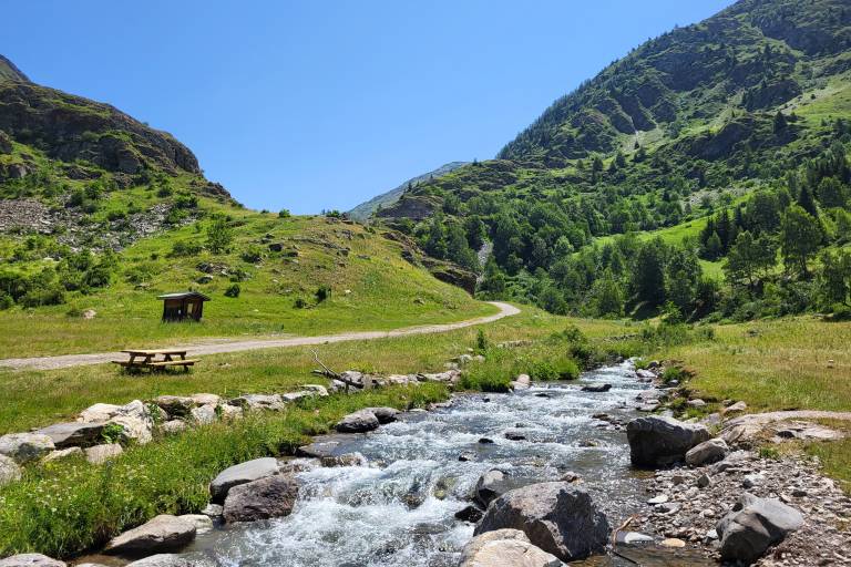
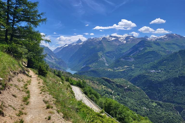
Hike to the Gua and the Sarenne, the nearest river that separates us from Alpe d'Huez. Enjoy this easy hike as you take in the views of the mountain pastures and the nearby peaks of the Grandes Rousses and the Écrins.
ECHNICAL INFORMATION
Start: Auris en Oisans station
Height difference: 488 m
Round trip time: 3h30
Distance: 9.13 km
MAP AND TOPO :
Map / Topo guide OBP n°2 and 3 (on sale at the tourist office):
ITINERARY
At the entrance to the resort, take the path up towards Chapelle saint Gérault. Once you've reached the chapel, continue along the pastoral road towards the hamlet of Cluy, then its pass.
Beware: herds are present from May to September.
Once at the top of the Col de Cluy, continue towards the Gorges de Sarenne, where you'll come across the Gua, a small river.
You can then turn back.
THINGS TO SEE ALONG THE WAY
- St Gérault chapel, founded in honor of the abbot of Aurillac.
- The hamlet of Cluy, with its typical Oisans stone houses and St Ilpise chapel, has a mountain charm all of its own.
- You can admire Alpe d'Huez, located on the opposite plateau.
THINGS TO KNOW
La Sarenne, "the longest black run in the world". In winter, the path you're taking is the end of this legendary ski run.
Dogs must be kept on a leash because of the presence of herding dogs in Cluy.
Marking
PDIPR yellow signs.
Map references
IGN Top 25 Map 3335ET - Le Bourg d'Oisans and Alpe d'Huez