Hiking - Refuge et vallon de la Lavey


Description
TECHNICAL INFORMATION
Start: Champhorent parking lot
Height difference: 400 m
Duration: 2 h 30 outward and 2 h 15 return
Distance: 9.4 km
Level :
Medium hike
MAP AND TOPO
IGN TOP 25 n°3336 ET
OBP n° 5 (Oisans au Bout des Pieds) trail 531-539
ITINERARY
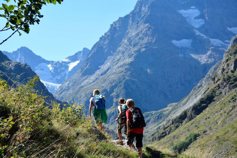
The parking lot is at the entrance to the hamlet of Champhorent (3 km after St Christophe en Oisans), below the road. Take the footpath at the end of the parking lot down to the Vénéon torrent and its magnificent Pont des Rajas. Cross the pretty stone bridge and climb towards the Rajas houses. Continue uphill to enter the Vallon de la Muande and follow the torrent on the right bank, then on the left bank after a second stone bridge. At the shepherd's hut, cross the gently sloping slabs to reach the refuge hidden behind this small glacial lock.
THE PARC DES ECRINS, A FRAGILE NATURAL ENVIRONMENT TO PROTECT
When hiking in the Parc des Ecrins, you must respect the regulations that allow you to enjoy this exceptional natural area: do not leave the trails, dogs are forbidden even on a leash, do not pick flowers or collect fossils, minerals, animals..., do not throw anything on the ground (bring your own garbage). Nature thanks you!
To see along the way
- the Pont des Rajas
- Lavey refuge
- L'olan, les Rouies