Les Sûres - Hiking from the resort of Auris-en-Oisans
Description
TECHNICAL INFORMATION
Start: Place des Orgières
Height difference: 280 m
Round trip time: 2 h 15
Round trip distance: 5.2 km
MAP AND TOPO
TOP 25 IGN 3335 ET - Bourg d'Oisans, Alpe d'Huez
OBP map no. 3 (Oisans au Bout des Pieds), trail no. 313
ITINERARY
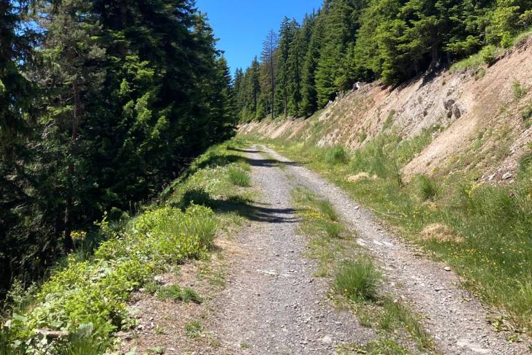
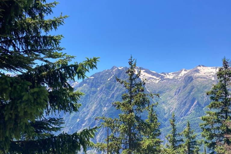
Starting from Place des Orgières, walk up Rue de Piégut to the first bend, where you can begin your ascent into the forest. Then take the upper path towards Piégut. A short climb through the forest takes you to a track that gradually climbs upwards. At the end of the track, turn right onto the path towards Les Sûres. You'll then be walking close to the downhill mountain bike trails: take care not to use them. You'll find yourself in a meadow landscape overlooking the Romanche valley. Follow the ridge up to the Sûres summit, from where you can admire a 360-degree panorama of the surrounding massifs and the plain of Bourg d'Oisans. You can then turn around and head back to the resort.
TO SEE ON THE ROUTE
- Mountain snack bar
- Sûres gondola lift
- Panoramic view of the Prégentil cliff and its geological folds
- Chamois at the base of the cliff
- Massifs des Écrins, Taillefer, Belledonne and Grandes Rousses
- Bourg-d'Oisans plain
- Seen from the resort of Auris-en-Oisans and Alpe d'Huez
THINGS TO SEE NEARBY
- Auris-en-Oisans resort and hamlets