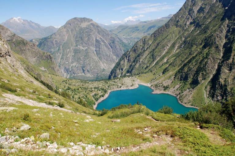
Plan Vianney lake and the Périer gap
Hard
7h
14.2km
Round trip
+1540m
-1540m


1 / 3
Description
This demanding hike that starts on the family (and busy) trail that leads to the Lauvitel lake then leaves the crowd to follow a different footpath that is high and steep overlooking the Lauvitel lake followed by the Plan Vianny lake. It therefore has a wonderful view before getting to the Périer gap.