Plateau des lacs du Taillefer - hike from Oulles
Description
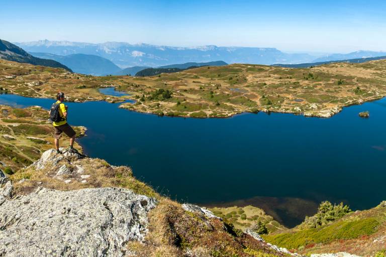
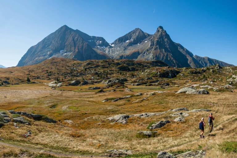
This hike takes you to the magnificent Lac Fourchu, one of the jewels of the Taillefer massif. Departing from Oulles, this looped itinerary passes through various levels of vegetation, offering beautiful views of the Alpine landscape before opening out onto the Taillefer plateau, with splendid views of the surrounding peaks.
TECHNICAL INFORMATION
Departure point: Village d'Oulles
Ascent: 1018 m positive,
Duration: 5h (loop)
Distance: 13.8 km
Level: difficult
MAP AND TOPO :
IGN map: TOP 25 n°3335 Ouest
OBP map: n°1 (Oisans au Bout des pieds): trail 636
ITINERARY:
From the village of Oulles, the trail gradually rises through a forest of deciduous and coniferous trees, offering superb views towards the Romanche valley. As you gain altitude, you cross alpine meadows, rich in varied flora, before arriving at the Taillefer refuge, ideal for a break. The climb continues to the Taillefer plateau, a vast expanse dotted with small lakes and ponds, including Lac Fourchu. This plateau, surrounded by rock formations, is the perfect place to relax and admire the wild beauty of the area.
THINGS TO SEE ON THE TRAIL :
-Marmots can sometimes be seen, as they are particularly fond of this area in summer.
-Taillefer refuge
-Viewpoints over the Oisans
-Plateau des Lacs, Natura 2000 site