La Courbe - Hiking from Puy-le-Bas (Le Freney-d'Oisans)
Description
TECHNICAL INFORMATION
Start: Puy le bas
Height difference: 500 m
Round trip time: 3h30
Return distance: 7.4 km
Level : Medium
ITINERARY
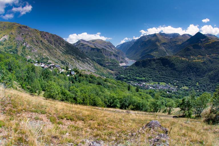
Above Puy-le-Bas, the trail crosses. The slope then steepens through the alpine pastures to reach a rockier area and finally the Rocher de la Courbe.
After crossing Puy-le-Bas, the carriage road turns right to the champ de Bonnefond, where the path is signposted on the right.
Enjoy the freshness of the water intake. Continue until you come to a wide bend in the road, where the path turns right into a meadow, always well-marked as far as La Courbe. You pass under the Bec de l'Aigle (where you might spot some chamois!).
You can continue on to the ruins of the chalet, where cairns indicate the way through the site to find the path down to Clavans. To avoid the village, look for a little-used, unmaintained path 50 m below the descent, which leads to a wider path from Clavans. Shaded area. Climb up to the Follet oratory and continue through the woods along the side of the Clapière to reach Puy-le-Bas.