Refuge du Soreiller - hike from Les Étages

Description
TECHNICAL INFORMATION
Start: Parking des Étages
Height difference: 1139 m
Duration: 2 h 45 outward and 2 h return
Distance: 9 km
Level :
difficult hike
MAP AND TOPO
IGN TOP 25 n°3336 ET
OBP n° 5 (Oisans au Bout des Pieds) : 542
ITINERARY
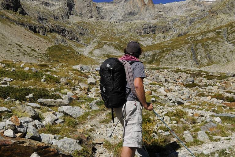
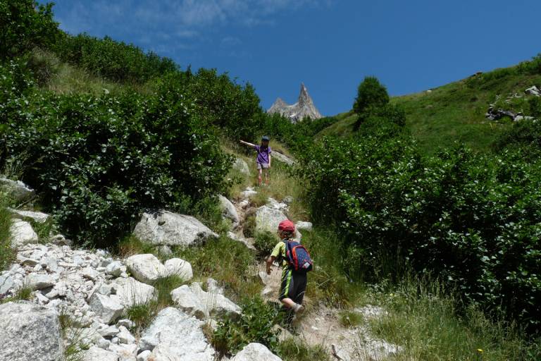
The classic Combe d'Amont trail begins at the entrance to the hamlet of Les Étages. After a winding climb through rhododendrons, it joins the combe d'amont and crosses its torrent via a footbridge. The extraordinary Aiguille Dibona (3130 m) rises up in the middle, with the refuge nestling at its foot. The false flat that follows the exit from the combe is a good place to stop before starting the last steep switchbacks to the refuge, with its red shutters already in view. The view from the refuge is splendid over the entire southern massif.
Dogs on leashes are allowed on the trail, but please be vigilant, as the valley is home to flocks of sheep in summer.
THINGS TO SEE ON THE WAY
The Aiguille de la Dibona is a climber's paradise. It owes its name to mountaineer Angelo Dibona, author of numerous difficult routes from the 1880s onwards.
NOTES
- Beware of snow at the start of the season.
- The refuge is the starting point for numerous climbing routes. The most famous peak in the Soreiller cirque is the Aiguille Dibona. Just 10 minutes from the refuge, you'll find a host of great climbing routes on excellent granite.