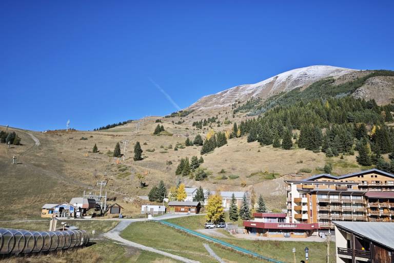
Huez - Hiking from the resort of Auris-en-Oisans
Description
TECHNICAL INFORMATION
Start: Auris-en-Oisans
Height difference: 631 m
Round trip time: 4h45
Distance: 9.55 km
MAP AND TOPO
Map / Topo guide OBP n°2 et 3 : paths 301 + 260 + 265 + 251 + 267 + 339 + 253
IGN Top 25 Bourg-d'Oisans and Alpe d'Huez - 3335 ET
ITINERARY
From Auris-en-Oisans, take the path towards Col de Maronne, then continue towards Huez.
After the hamlet of Rosay, descend to the Roman bridge in the Sarenne gorges. Once over the bridge, continue towards Huez. You can then retrace your steps.
THINGS TO SEE ALONG THE WAY
- The hamlet of Le Rosai, with its well-kept stone houses typical of the region, and the 15th-century chapel of the Sainte Trinité.
- The Roman bridge, on the route of the ancient "Roman road", which linked Grenoble to Italy via the Col du Lautaret and the Romanche valley.
GOOD TO KNOW:
- La Sarenne is "Europe's longest black trail". In fact, the path you're taking is the end of this legendary ski run in winter. It starts from the Pic Blanc, at an altitude of 3,300 metres, with a 360-degree view of the surrounding mountains.
Dogs must be kept on a leash.