Serre Bernard via la Berche

Description
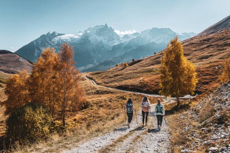
From the starting point at Le Chazelet (1770 m), head down towards the village along the parking lot. At the first junction, don't go up into the village, but take a right-hand hairpin turn towards the foot of the ski lifts. At the second fork in the road, keep to the side (do not go down to the stream).
the torrent).
Continue along the wide track and at the next junction, turn left and cross the torrent at the "pont de la mine" (old silver-lead mine). Climb up the wide winding road before reaching the Querellé hillock.
Follow the good track, then after about 2 km, fork left towards the Plaquejoue ruins (1985 m).
From here, turn left onto the tractor track, then climb steeply up the slope, turning slightly left to reach the ruins (lieu-dit la Selle).
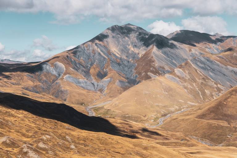
From this point, the Berche is in sight, forming a notch in the wide schist wall. Follow the posts and cairns towards the pass
to the pass (2386 m).
The downhill route crosses wide meadows, passes close to the Serre Bernard hump and then leads to Chicot and the col (2164 m), which overlooks Le Chazelet. Here you join the GR 54.
Follow the GR54 downhill to the benches (Lieu-dit La Pouillate). At the benches, fork left and take the path that crosses the Plateau d'Emparis ski lift to the hamlet of Clot Raffin.
Take the path leading to the bridge at the start of the ski lift. Return to Le Chazelet via a wide track to the starting point of the itinerary.