Summer hike : Grand Beau Rocher

Hard
4h30min
8.5km
Loop
+855m
-834m
Summer hike : Grand Beau Rocher image1Summer hike : Grand Beau Rocher image2Summer hike : Grand Beau Rocher image3
1 / 3

Description

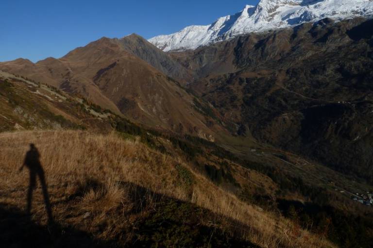
TO SEE ON THE ROUTE: In the heart of the forest, discover the vegetation of the undergrowth; the progressive change of the flora during the ascent to the Grand Beau Rocher.

NOTE: The return to Vaujany can be done by the same path or by a loop to La Villette. This hike requires a good physical condition and technical knowledge given the relief and the difference in altitude.

Guided steps

From the Tourist Office go towards the bakery, a little before on the right a lane rises, take it, climb steeply and always to the left until you see the sign indicating chemin de l'étendard. Turn left this time and you are on the path that starts out in the forest. The signs indicate the Collet. Continue to climb through the undergrowth, following the collet, then turn right to follow the direction of the col du sabot and the large beautiful rock. At point 1745, crossroads, go up through the blueberries to the viewpoint 1906m, take the same route to go down and continue towards the Col du Sabot. Descend by the ruins of Cressin, then join the road and descend by the road, until you find the yellow marked route and follow it. Always follow the yellow marked itinerary which alternates between road and path to reach La Villette, then the top of the village Le Rochas, then Vaujany.

Download GPX file
Address
Départ Office de Tourisme de Vaujany, 38114, Vaujany
Opening
From 01/05 to 31/10 daily. Subject to favorable weather.

Was this content helpful to you?