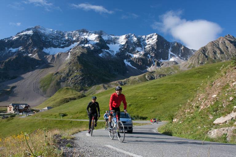
The Col du Galibier


Description
This route is available in the "Cyclo en Oisans" guide (Oisans Tourisme).
Start / Finish : Bourg d'Oisans 720 m
Duration : 6 h
Distance (return) : 96 km
Maximum altitude: 2646 m
Minimum altitude: 720 m
Ascent: 1900 m
Maximum gradient: 14
Cartography: Michelin Carte Département Isère, Savoie n° 333
ITINERARY
From Bourg-d'Oisans, head for "Briançon / Les 2 Alpes" on the D1091 as far as the Chambon dam. You'll pass through 4 lighted tunnels on this stretch, so for your own safety, make sure you're visible.
Once at the dam, continue towards "Briançon / La Grave" as far as the Col du Lautaret (2058 m).
From Le Lautaret, turn left towards the Col du Galibier. There's still 8 km of sustained ascent to the summit.
Beware of the effects of altitude, which can be felt from 2000 m upwards.