
The Roman Road - Hike from Bourg-d'Oisans

Description
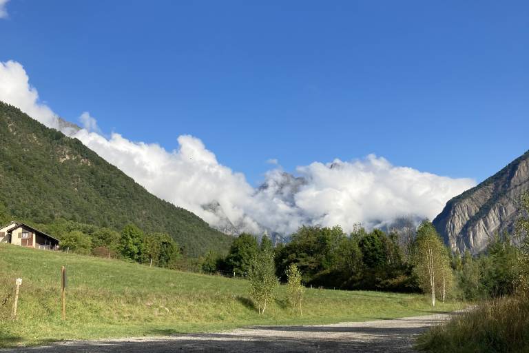
A beautiful walk around the Bourg d'Oisans plain, perfect for the whole family. In Rochetaillée, the remains of a Roman road carved into the cliff high above serve as a reminder that a lake—Lake Saint-Laurent—once covered this plain 800 years ago.
TECHNICAL INFORMATION
Starting point: Place du Cristal - Le Bourg-d'Oisans
Elevation gain: 20 m
Round-trip duration: 2 hours 40 minutes
Round-trip distance: 16.2 km
Difficulty: easy (except for a tricky section climbing to Rochetaillée along the Roman road, which can be bypassed)
ROUTE
From Place du Cristal, head toward the Ecrins National Park Visitor Center. At the end of Rue Gambetta, turn right onto Rue St. Antoine, then continue straight ahead until you reach the ford crossing the Alberts torrent
After crossing the torrent, head down to the right at the Bike Park, then take the left-hand path toward La Morlière. The hamlet of La Morlière, built away from the wetlands of the Bourg d’Oisans plain, was once home to a snail canning company.
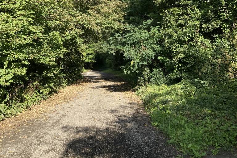
Continue straight ahead on the path through the woods behind the industrial park before passing through La Lignarre and reaching La Paute.
Cross La Paute toward the cliff to reach a lovely trail; a wayside shrine marks the exit from the hamlet.
You’ll follow the “old road,” which was already in use in the Middle Ages—and perhaps as far back as Roman times—to connect Oisans to Grenoble. Its slightly elevated position allowed travelers to skirt Lake St. Laurent, which once covered the Bourg d’Oisans plain.
Before reaching Rochetaillée, look to your left to see the remains of the ancient Roman road carved into the rock.
Several sections are still visible over a distance of nearly 300 meters.
The deeply carved rock forms an arch 2.2 meters wide. Regularly spaced grooves were likely intended to accommodate a framework of beams designed to support a wooden deck that widened the road. This substantial construction work attests to the strategic importance of the Oisans Road during Roman times, as it served as a crossing point between Gaul and Italy.
/!\ On the final few meters, a fairly steep ascent and descent—tricky with children and impassable with a stroller—lead to Rochetaillée. You can avoid these sections by stopping at the end of the Chemin du Boccard, or by joining the Voie Verte toward “Pont Rouge.”
Return to Bourg-d’Oisans via the same route (you can also return via the Voie Verte along the Romanche River).