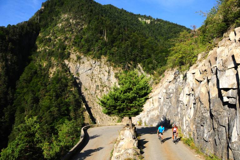
The steep climb to Oulles

Description
Itinerary no. 9 of the “Cycling in Oisans” guide (Oisans Tourisme)
Departure / Arrival: Bourg d’Oisans 720 m
Time: 1 h 15
Distance (R/T): 22 km
Highest point: 1400 m
Lowest point: 716 m
Total ascent: 768 m
Max. gradient: 10%
Map: Michelin Local Map no. 333 Isère, Savoie
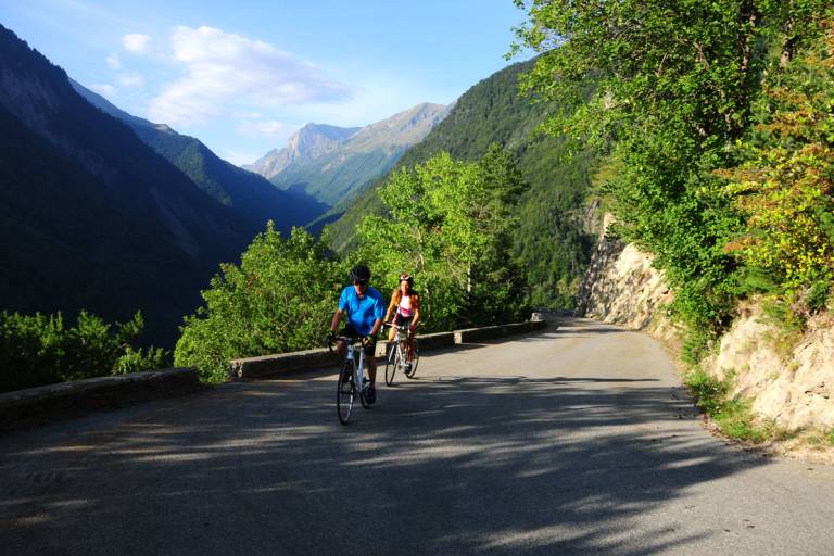
ITINERARY
From Bourg d’Oisans follow the D1091 towards Grenoble.
After the second kilometre, turn left and follow the D526 to cycle towards “Ornon / Oulles”.
After 1.6 km turn right and take the D221 to Oulles.
At the agenda, 7 km of hairpin bends on a steep slop... until the end.
This road ends in a cul-de-sac, so you will cycle the same route to go back.
HISTORY
It was not until 1963 that Oulles, the smallest municipality of Isère, became accessible to vehicles with the excavation of its first proper road cut straight through the rock. The little mountain village facing the La Meije and the Ecrins mountains had therefore remained relatively cut off from the world until only recently, and has preserved all its charm.
In the Middle Ages there were also silver mines.